
Northern Suburbs Branch, 15 February 2023
The 140 km long Rudall River starts and ends in the Karlamilyi National Park in the remote East Pilbara region. The park lies approximately 300 km East of Newman and 90 km south of the Telfer gold and copper mine. The history and exploration of the surrounding area can be broken into four phases: pre-European, exploration for pastoral pursuits, exploration for mineral resources and more recently, as a destination for those wanting to explore remote areas.
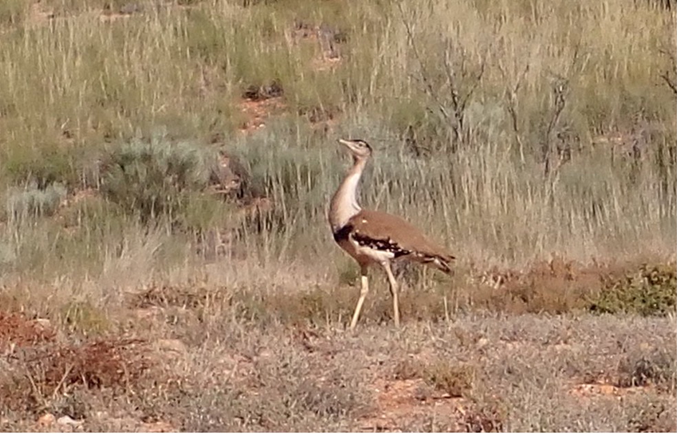
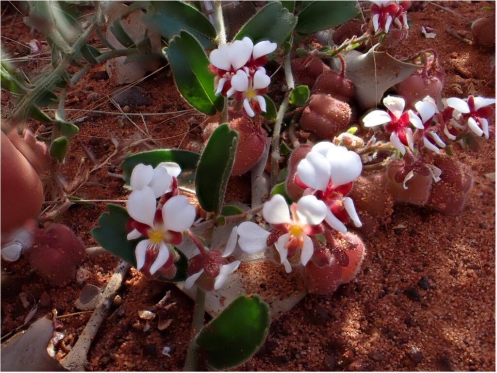
The Martu people, whose land extends from the Great Sandy Desert to Wiluna, have lived there for at least 40,000 years. They refer to the river’s upper reaches as Waturarra and the lower reaches as Karlamilyi. With its permanent water holes, the river was naturally an area where animals and birds came to drink. This made it an ideal place for the Martu people to spend considerable time camping along its banks. Today the Martu still live in the area, with the biggest population residing at Jigalong, while smaller populations live at Punmu on the edge of Lake Dora or the southern boundary of the national park at Parnngurr. However, their culture lives on in the presence of rock art, including the petroglyphs at Desert Queen Baths.
European explorers passed to the east (F T Gregory, 1861), north (Col. Egerton Warburton, 1872-74) and west (L A Wells, leading the Calvert Expedition, 1896) of the yet unrecorded river. During the last of these expeditions, two men were asked by Wells to explore the country to the west of the planned route with instruction to meet up at Joanna Springs, a waterhole Warburton had misplotted. When the two men failed to meet up with the main party, several rescue parties were sent to look for them, one of which was led by surveyor William F Rudall. Rudall first crossed the un-named river in late December 1896 and traversed the entire length of the river on a second search between April and June 1897. It was during this second search that a thirst-ridden prospector named Frank Hann, by chance, met men from Rudall’s party who directed Hann to their boss’s camp. In recognition of this life-saving event, Hann named the watercourse Rudall River and the campsite Meeting Gorge. The third phase of exploration began with mapping the Canning Stock Route, 100 km East of Rudall River, in 1906-07. Two years later, WHB Talbot from the Western Australian Geological Survey was asked to explore the potential for gold between the stock route and the Rudall River. His report concluded, “With regard to the quartz-bearing schists south of Rudall River, I may say I am of the opinion that gold does not exist in the locality.”
In 1950, companies began taking out licences for oil and gas exploration, some of which included the area now covered by the national park. Western Australian Petroleum Limited (WAPET) constructed a 600km Wapet Road aka Kitson Track, between Wallal on the coast and the Canning Stock Route: a mammoth effort which paved the way for access to remote areas as far south as the Rudall River. This led to mineral exploration taking over from the search for oil. In 1972 Newmont discovered the giant gold and copper deposit at Telfer, estimated to contain 110 tonnes of gold worth over $6 billion. In the 1980s, uranium was discovered on the northern boundary of the national park, leading to the excision of part of the park. However, unlike Telfer, mining has yet to commence at the Kintyre uranium deposit and will require the Federal Minister for the Environment’s approval before it can proceed.
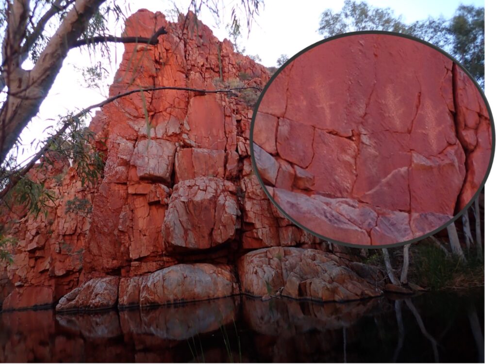
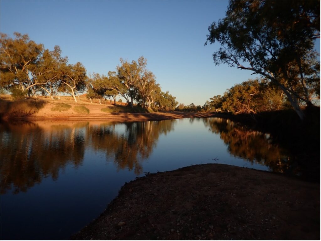
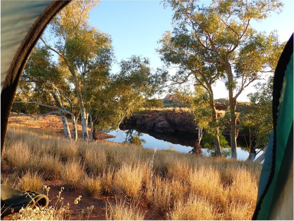
Rudall River National Park was declared in 1977 and, despite the excision, remains Western Australia’s largest and most remote national park. It underwent a name change to Karlamilyi National Park in 2008. Access to the park is via the Talawana Track in the south or from the Telfer Road in the north. A four-wheel drive vehicle is essential, as we discovered several times during our excursion with Coates Wildlife Tours. Coates ran its first trip to the park in 1999 and has continued the programme ever since. Despite its remote location, or maybe because of it, the park attracts plenty of tourists, although there are only a few designated camping spots, none with facilities or water. Two of the most popular spots are Tjingkulatjatjarra Pool (T pool) on the river’s upper reaches and Queen Desert Baths on a tributary to Rooney’s Creek. While the latter is a must to enjoy the pool’s cool water, Coates prefers to make its other camp at Lirripi Pool, which provides an opportunity to capture some wonderful photos.
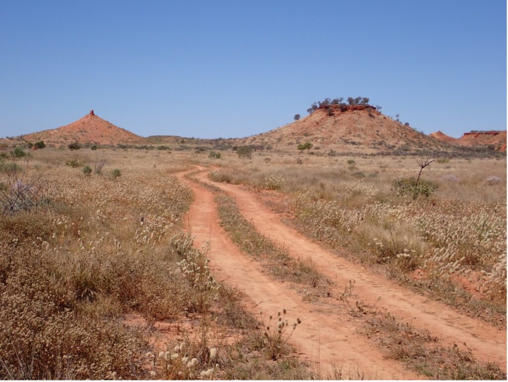
Many landmarks on current maps originate in a hand-drawn map prepared by a Westralian Oil Ltd expedition to Rudall River in 1954. I obtained a copy of the original map through a friend, which became an “I spy” game. “Compton Pinnacle “and “Mulga Topped Symmetrical Knob” have not changed in 70 years, and no doubt, will be there when generations to come explore this wonderful part of Western Australia.
Don Poynton
All images by Don Poynton