

Northern Suburbs Branch, 18 August 2026
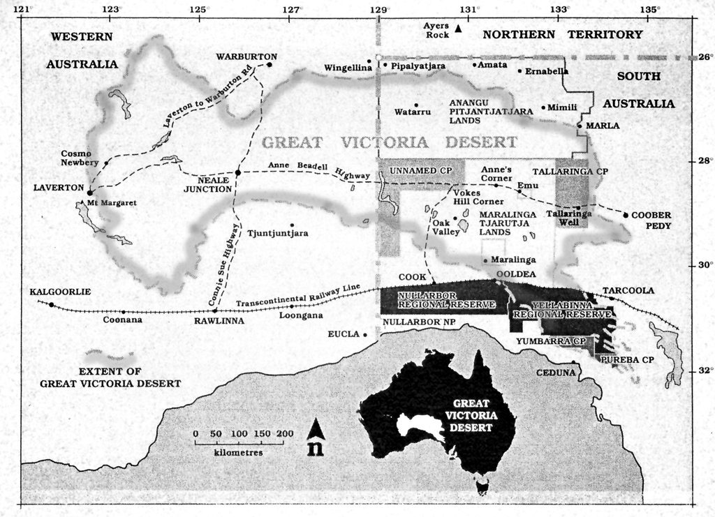
In July 2026, we joined 12 fellow travellers on a 10-day journey through the Great Victoria Desert. Australian Desert Spirit Journeys (ADSJ), a not-for-profit group that has helped people experience Australia’s remote desert country for many years, organised the expedition.
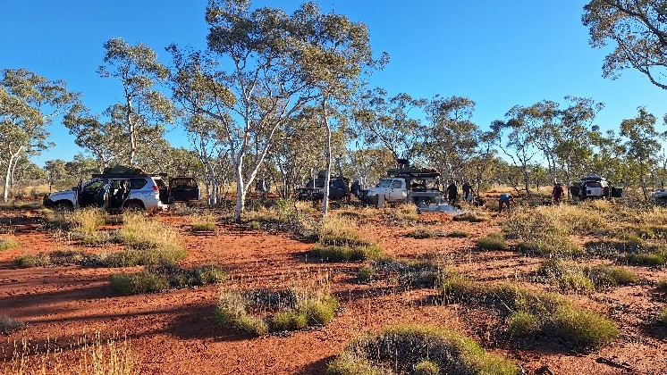
Travelling in five volunteer-operated, well-equipped four-wheel-drive vehicles, we covered 3,009 kilometres. For some participants, this was the most remote country they had ever visited.
Into the desert
Our journey began in Perth. We travelled to Morapoi Station, north of Kalgoorlie, and then continued through Laverton before leaving the sealed roads. We joined the Anne Beadell Highway, a narrow, single-lane track, and later turned north at Neale Junction onto the Connie Sue Highway.
After about 120 kilometres, we reached Hann’s Track and turned west. This rugged 200-kilometre route led us towards the Anne Beadell Highway near Lake Yeo. Progress was slow—often no more than 20 kilometres per hour—as we negotiated sand dunes, rocky sections, washouts and mud holes. On several occasions, we had to backtrack or use a chicken run around difficult sections.
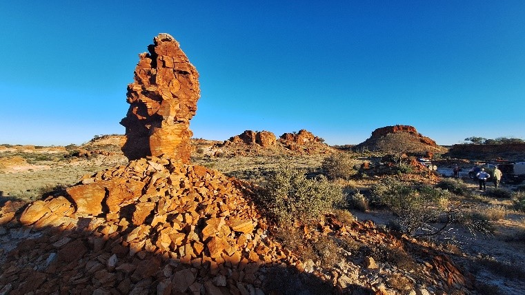
We spent two nights each at Point Lilian and Millars Range, using these camps as bases for exploring the surrounding rocky country. Further west, we visited Amy Rocks, Winterbottom Rocks and Lily Rock Hole before reaching Bishop Riley’s Pulpit, where Hann’s Track meets the Anne Beadell Highway.
We then retraced our route through Laverton and Kalgoorlie, spending our final night at Boorabbin in the Great Western Woodlands.
A remarkable road legacy
Although called highways, the Anne Beadell and Connie Sue are unsealed desert tracks. They form part of the remarkable legacy of surveyor and road builder Len Beadell and his Gunbarrel Road Construction Party.
Between 1947 and 1963, Beadell and his team constructed more than 6,000 kilometres of roads across remote central Australia. Their work provided access for surveys, defence activities and the Weapons Research Establishment at Woomera. The Anne Beadell Highway was named after Beadell’s wife, Anne, while the Connie Sue Highway commemorates their daughter, Connie Sue.
Green after rain
The Great Victoria Desert is Australia’s largest desert. It extends for more than 700 kilometres from Western Australia’s Eastern Goldfields to the Gawler Ranges in South Australia and covers approximately 350,000 square kilometres. Its landscapes include sand dunes, spinifex grasslands, rocky plains and salt lakes. Rainfall is low, erratic and highly variable, while summer temperatures can reach 40°C and winter nights may fall below freezing.
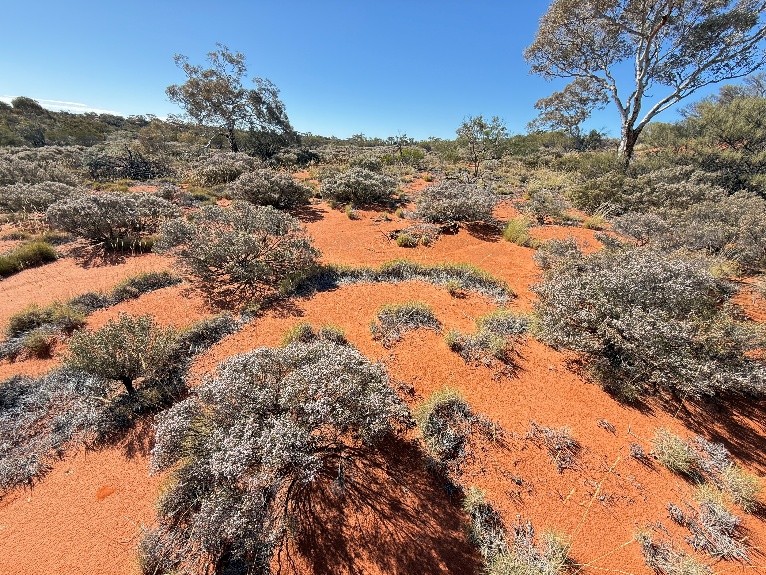
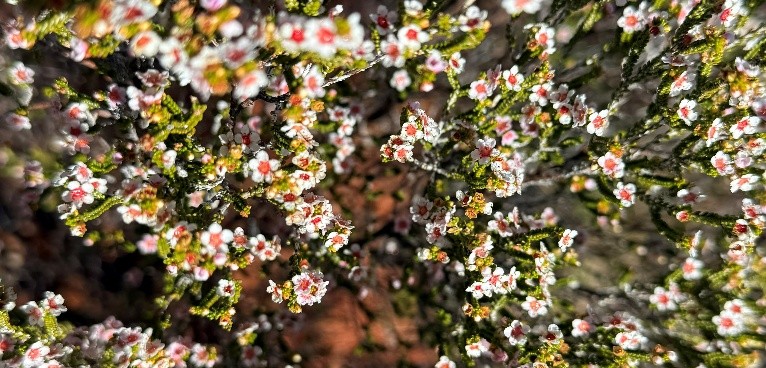
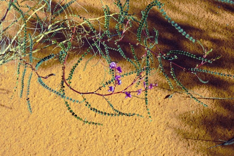
Despite its harsh climate, the desert was surprisingly green after earlier rains in the year. Marble gums/Baarla (Eucalyptus gongylocarpa), Mulga (Acacia sp.), Spinifex (Triodia spp.) and other shrubs covered the sandy plains. Densely carpeting the sides of the red-sanded dunes was the blooming pink of Desert Heath Myrtle or Desert Thryptomene (Aluta maisonneuvei).
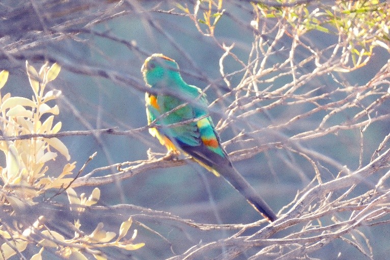
We saw few animals, although camel tracks were common. A golden dingo crossed our path, and we also noticed other footprints, possibly made by a feral cat. Birds were relatively few. No frogs or reptiles either.
Our route passed through the traditional country of the Pila Nguru, or Spinifex People. Their communities at Tjuntjuntjara and Ilkurlka remain closely connected with this remote desert environment.
After 10 days of clear weather, rain began just as we finished packing for the journey home. It was a memorable ending to an extraordinary experience of the Great Victoria Desert.
Diana Papenfus and Sylvia Tetlow